
จุดความร้อนในพื้นที่ป่า
ตำแหน่งหรือจุดที่มีอุณหภูมิสูงกว่าปกติในพื้นที่ป่า ซึ่งสามารถตรวจจับได้จากการใช้เทคโนโลยีต่าง ๆ เช่น ดาวเทียม หรือ ระบบตรวจจับความร้อน (Thermal Imaging) จุดความร้อนเหล่านี้อาจบ่งชี้ถึงการเกิดไฟป่าหรือการเผาป่าอย่างผิดกฎหมาย การตรวจจับจุดความร้อนสำคัญเพื่อ: ป้องกันและระงับการเกิดไฟป่า: โดยการติดตามความร้อนในพื้นที่ป่าที่เสี่ยงต่อการเกิดไฟ การเฝ้าระวังการเผาป่า: โดยเฉพาะในพื้นที่ที่มีการเผาป่าหรือทุ่งหญ้าเพื่อการเกษตร ประเมินความเสียหายจากไฟป่า: การตรวจสอบหลังจากเหตุการณ์ไฟป่าเพื่อติดตามพื้นที่ที่ได้รับผลกระทบ การใช้เทคโนโลยีการตรวจจับจุดความร้อนมีความสำคัญในการรักษาความปลอดภัยและการอนุรักษ์ทรัพยากรป่าไม้



 Data API
 Visualization
 Embed
Embed
 Fullscreen
Resource Info : ${cur_meta.name}
Download| Resource last updated date | ${cur_meta.last_modified} |
| Resource creation date | ${cur_meta.created} |
| Resource format | ${cur_meta.mimetype} |
| Resource ID | ${cur_meta.id} |
| Description | ${cur_meta.ori.description} |
| Accessible Condition | ${cur_meta.ori.resource_accessible_condition} |
| First year of data | ${cur_meta.ori.resource_first_year_of_data} |
| Last year of data | ${cur_meta.ori.resource_last_year_of_data} |
| Disaggregate |
|
| ${cur_meta.ori.resource_disaggregate_other} | |
| Unit of measure | ${cur_meta.ori.resource_unit_of_measure} |
| Unit of multiplier | ${cur_meta.ori.resource_unit_of_multiplier} |
| ${cur_meta.ori.resource_unit_of_multiplier_other} | |
| Last updated date | ${cur_meta.ori.resource_last_updated_date} |
| Data release calendar | ${cur_meta.ori.resource_data_release_calendar} |
| Official Statistics | ${cur_meta.ori.resource_official_statistics=='True'?'ใช่':'ไม่ใช่'} |
Additional Info
| Data Key | b5acb5e6-318b-4656-a111-386378b6dd32 |
|---|---|
| Tags |
ความร้อนในพื้นที่ป่า
จุดความร้อน
จุดความร้อนในพื้นที่ป่า
ป่า
พื้นที่ป่า
|
| Visibility | Public |
| Dataset publish create date | May 24, 2025 |
| Dataset create date | May 2, 2025 |
| Maintain date | July 31, 2026 |
| Data Type | ข้อมูลสถิติ |
| Contact Person | ส่วนทรัพยากรธรรมชาติ |
| Contact Email | [email protected] |
| Objective |
|
| Update Frequency Unit | ปี |
| Update Frequency Interval | 1 |
| Geo Coverage | จังหวัด |
| Data Source | สำนักงานทรัพยากรธรรมชาติและสิ่งแวดล้อมจังหวัดหนองบัวลำภู |
| Data Format | CSV |
| Data Category | ข้อมูลสาธารณะ |
| License | Open Data Common |
| Accessible Condition | ไม่มีการจำกัดการเข้าถึงข้อมูล |
| Data Language | ไทย |
| First year of data (Statistical data) | 2566 |
| Last year of data (Statistical data) | 2569 |
| Disaggregate (Statistical data) | ไม่มี |
| Unit of measure (Statistical data) | จุด |
| Unit of multiplier (Statistical data) | หน่วย |
| High Value Dataset | No Show |
Showcases
-
 สถานะมาตรฐาน HA ของ สถานพยาบาลไทย
July 10, 2026
สถานะมาตรฐาน HA ของ สถานพยาบาลไทย
July 10, 2026
-
 การเติบโตของการใช้บริการโทรศัพท์เคลื่อนที่ในประเทศไทย
July 2, 2026
การเติบโตของการใช้บริการโทรศัพท์เคลื่อนที่ในประเทศไทย
July 2, 2026
-
 การใช้จ่ายเงินทางช่องทางออนไลน์เติบโตไปแค่ไหนแล้ว?
June 26, 2026
การใช้จ่ายเงินทางช่องทางออนไลน์เติบโตไปแค่ไหนแล้ว?
June 26, 2026
-
 ทีม เป็ดน้อย ร้อยหน้าที่ - สำนักงานเกษตรจังหวัดฉะเชิงเทรา กรมส่งเสริมการเกษตร
December 12, 2025
ทีม เป็ดน้อย ร้อยหน้าที่ - สำนักงานเกษตรจังหวัดฉะเชิงเทรา กรมส่งเสริมการเกษตร
December 12, 2025
-
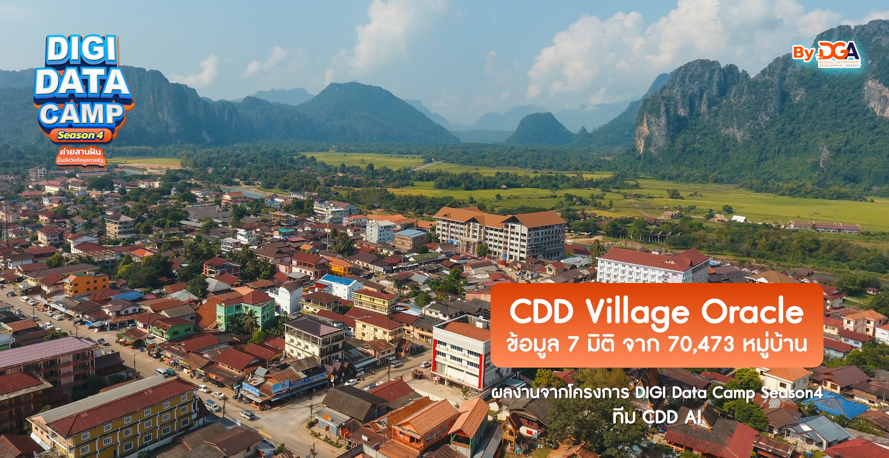 ทีม CDD AI - กรมการพัฒนาชุมชน
December 12, 2025
ทีม CDD AI - กรมการพัฒนาชุมชน
December 12, 2025
-
 ทีม ที่สุดของแจ้ – การรถไฟแห่งประเทศไทยและโรงเรียนวัดราชโอรส
December 12, 2025
ทีม ที่สุดของแจ้ – การรถไฟแห่งประเทศไทยและโรงเรียนวัดราชโอรส
December 12, 2025
-
 ทีม HAI Quality Data – สถาบันรับรองคุณภาพสถานพยาบาล (องค์การมหาชน)
December 12, 2025
ทีม HAI Quality Data – สถาบันรับรองคุณภาพสถานพยาบาล (องค์การมหาชน)
December 12, 2025
-
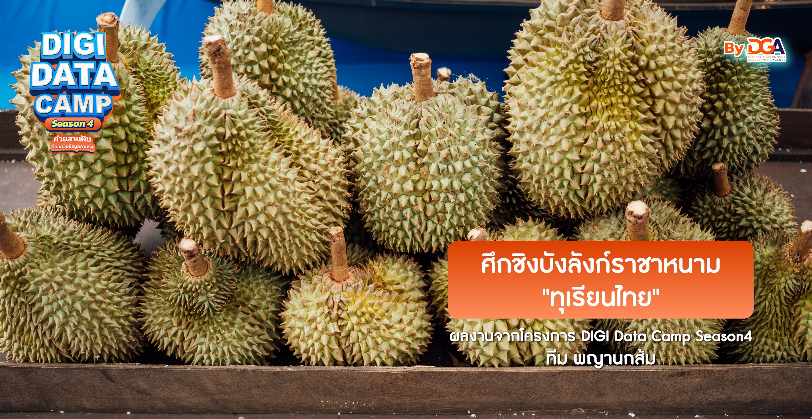 ทีม พญานกส้ม – สำนักสื่อดิจิทัล องค์การกระจายเสียงและแพร่ภาพสาธารณะแห่งประเทศไทย
December 12, 2025
ทีม พญานกส้ม – สำนักสื่อดิจิทัล องค์การกระจายเสียงและแพร่ภาพสาธารณะแห่งประเทศไทย
December 12, 2025
-
 ทีม EqualHousing Lab – การเคหะแห่งชาติ
December 12, 2025
ทีม EqualHousing Lab – การเคหะแห่งชาติ
December 12, 2025
-
 ทีม Next Station ... อุดมสุข - ธนาคารเพื่อการเกษตรและสหกรณ์การเกษตร (ธ.ก.ส.)
December 12, 2025
ทีม Next Station ... อุดมสุข - ธนาคารเพื่อการเกษตรและสหกรณ์การเกษตร (ธ.ก.ส.)
December 12, 2025
Related
การกำหนดหลักเกณฑ์ ลักษณะหน่วยงานที่มีภารกิจหรือให้บริการเป็นหน่วยงานโครงสร้างพื้นฐานสำคัญทางสารสนเทศ และการมอบหมายการควบคุมและกำกับดูแล
การกำหนดหลักเกณฑ์ ลักษณะหน่วยงานที่มีภารกิจหรือให้บริการเป็นหน่วยงานโครงสร้างพื้นฐานสำคัญทางสารสนเทศ และการมอบหมายการควบคุมและกำกับดูแล พ.ศ. ๒๕๖๔

ผลการประเมินหน่วยงานที่ผ่านเกณฑ์การปฏิบัติตามมาตรฐานด้านการรักษาความมั่นคงปลอดภัยไซเบอร์ขั้นต้นที่จำเป็นกิจกรรม NCSA Cyber Hygeine Cetificates
ตามที่ สำนักงานคณะกรรมการการรักษาความมั่นคงปลอดภัยไซเบอร์แห่งชาติ ได้ดำเนินการจัดกิจกรรม NCSA Cyber Hygeine Cetificates...